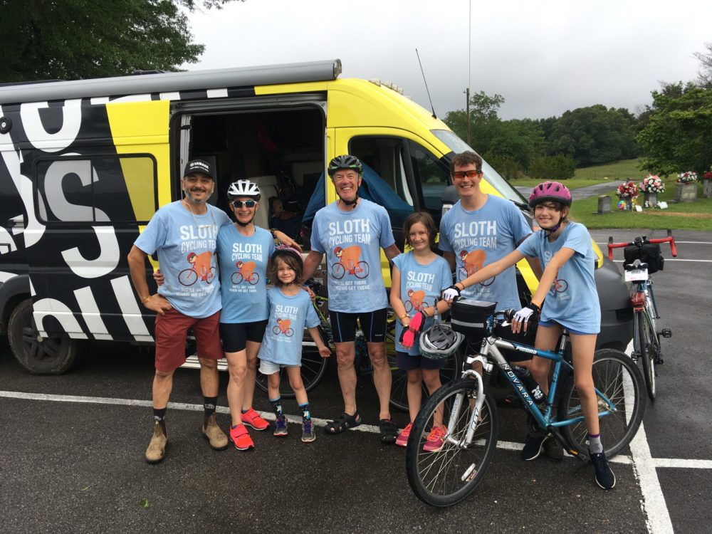
That’s the question that started me thinking. We were in the midst of bike touring the Natchez Trace Parkway in October 2020. While I prepared for the adventure, I’d read A Way Through the Wilderness: The Natchez Trace and the Civilization of the Southern Frontier by William C. Davis. I wanted to know more about the history and culture of the region and the ancient route we’d be following. And I became especially interested in the Native American aspect of the story.
So it was from that perspective that I briefly pondered my daughter’s question. “You know, for a bike tour,” I said, “I think the Erie Canal would be a lot like this!”
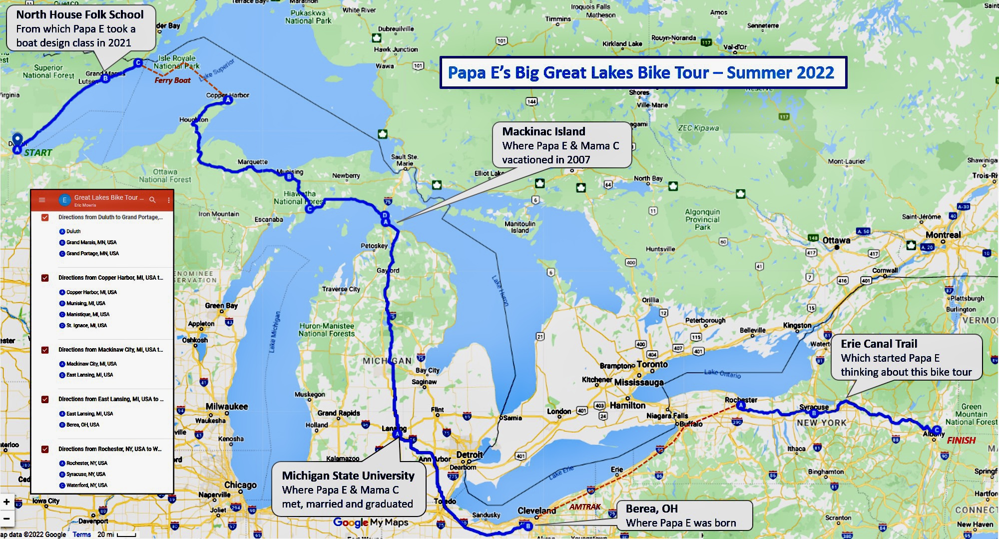
Months later, I launched Google Maps, clicked the cycling icon, and set about drawing a route map for a new adventure. I started in Albany, NY and mapped the Erie Canalway Bike Trail all the way to Buffalo. It seemed a short hop to Cleveland, OH, so I added a second destination: my birthplace Berea, OH. Then a third: my alma mater MSU. And a fourth: Mackinac Island. A fifth: Pictured Rocks National Lakeshore. And finally: Grand Marais, MN, site of North House Folk School, from which I took a web-based course in Boat Design last year.

In a single Google Maps session I had sketched a mammoth, 1500 mile bike tour of the Great Lakes!
And I’ll be riding it this summer, in some sections accompanied by friends and family members. You are cordially invited to join me on this 7-week adventure through this blog.
P.S. My grandchildren know me as Papa E and I designed this map to show them where I would be going on my Big Great Lakes Bike Tour.
